I’m writing this instead of attending a burn plan writing workshop thru the Plumas TREX/Underburn Coop…because the road was blocked and I didn’t bring the chainsaw with me.

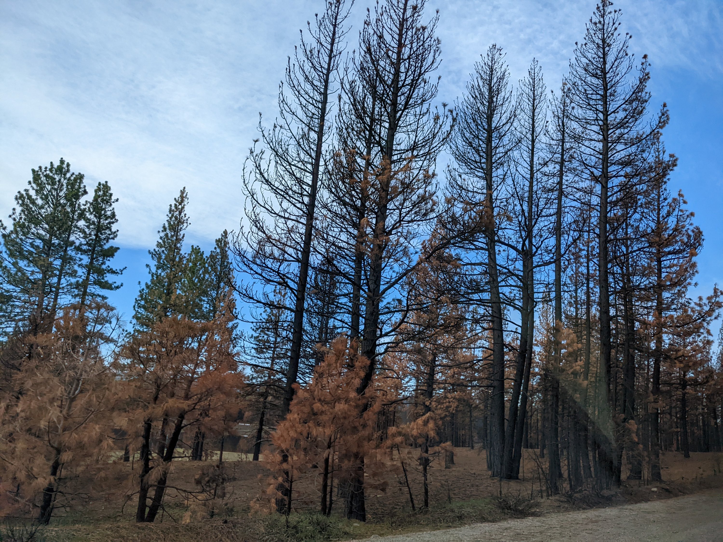
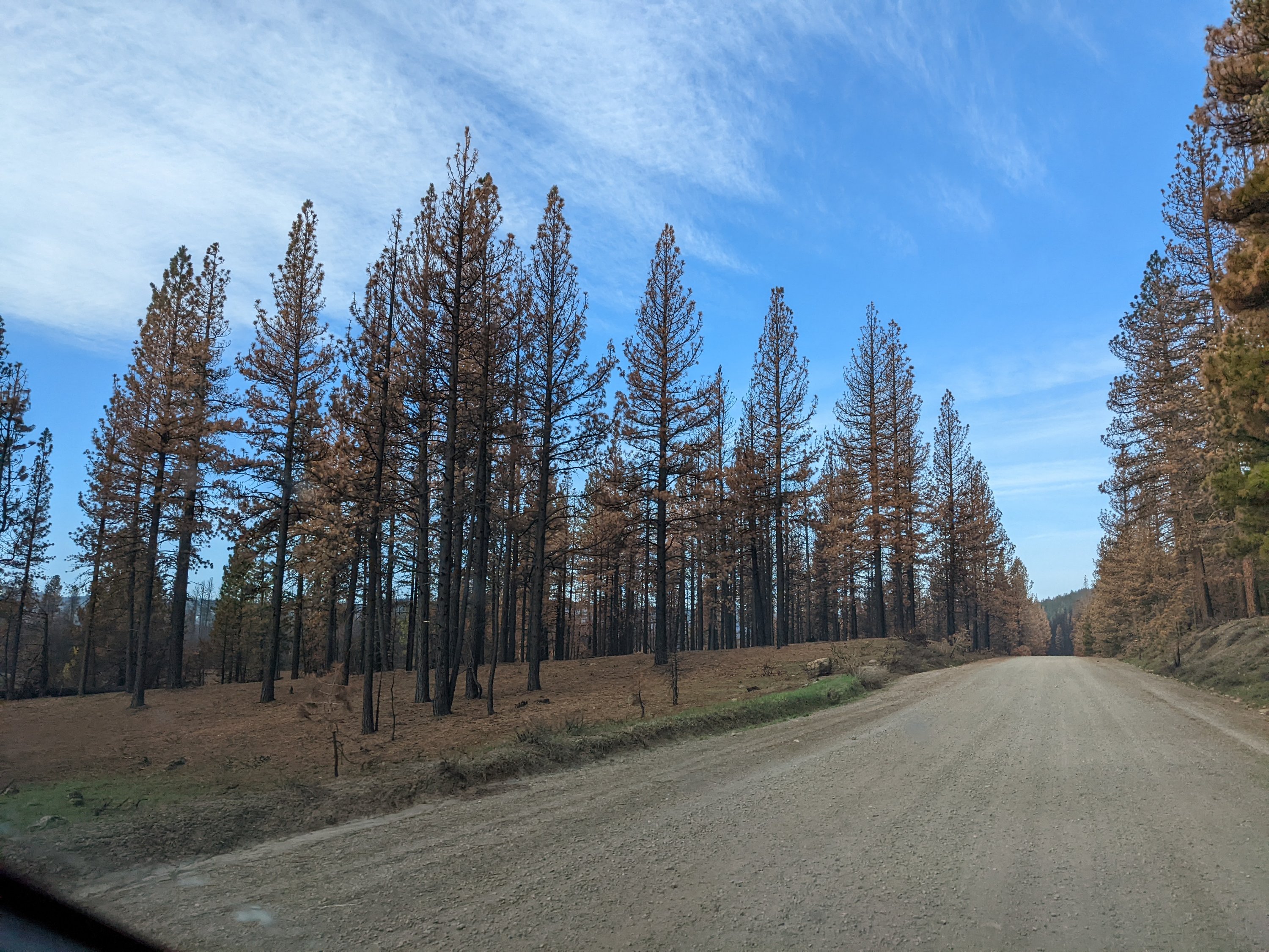
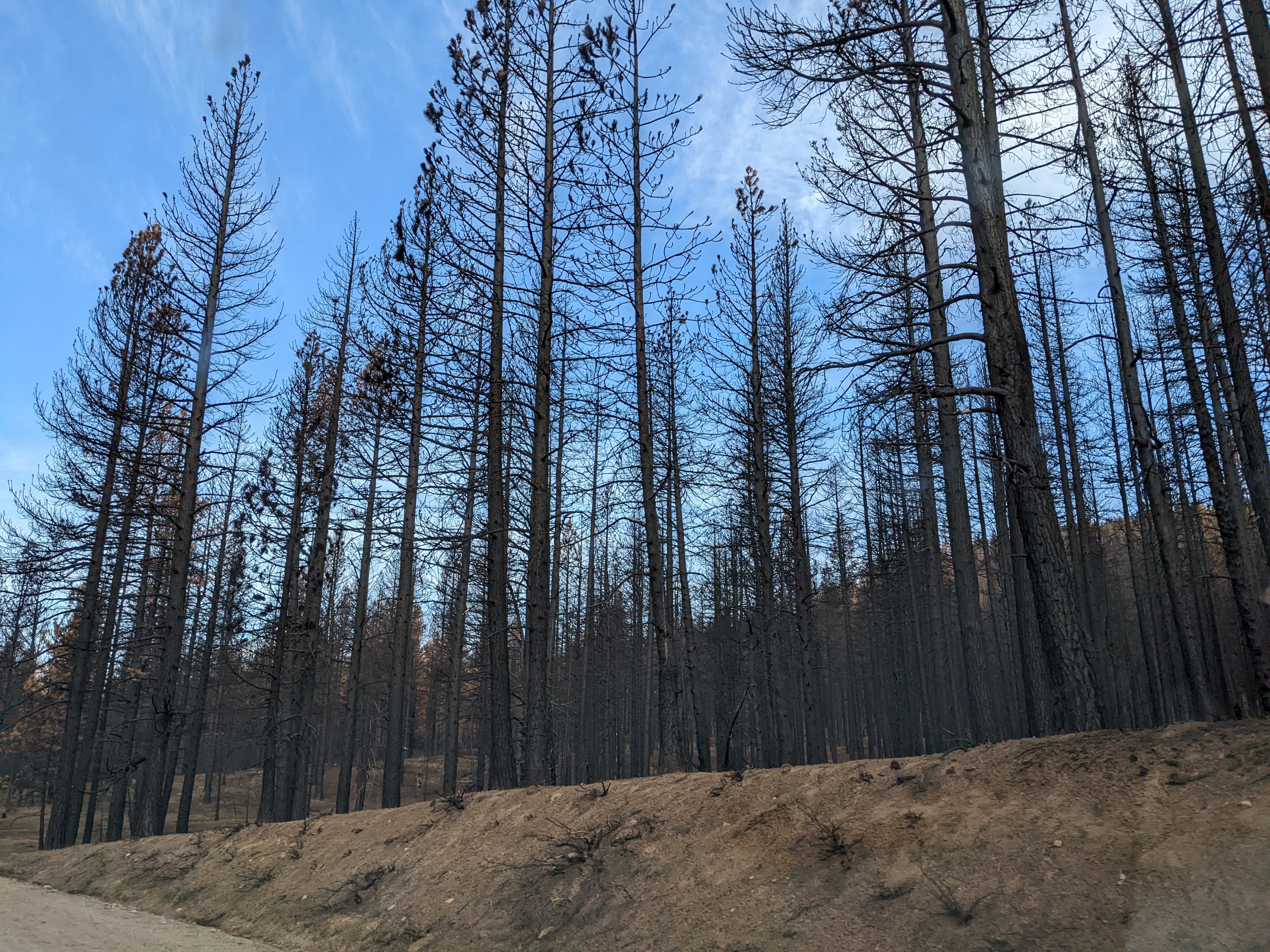
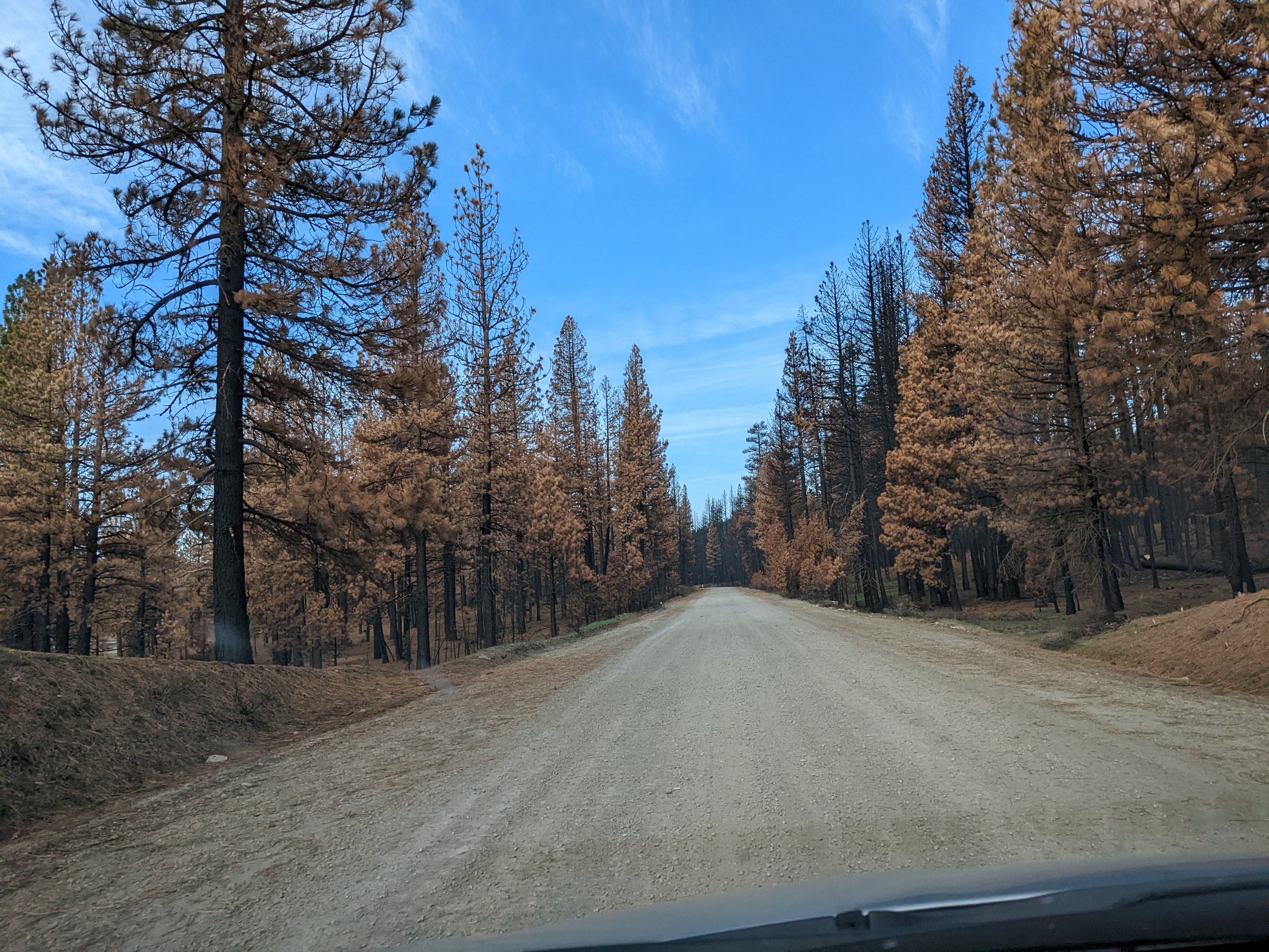
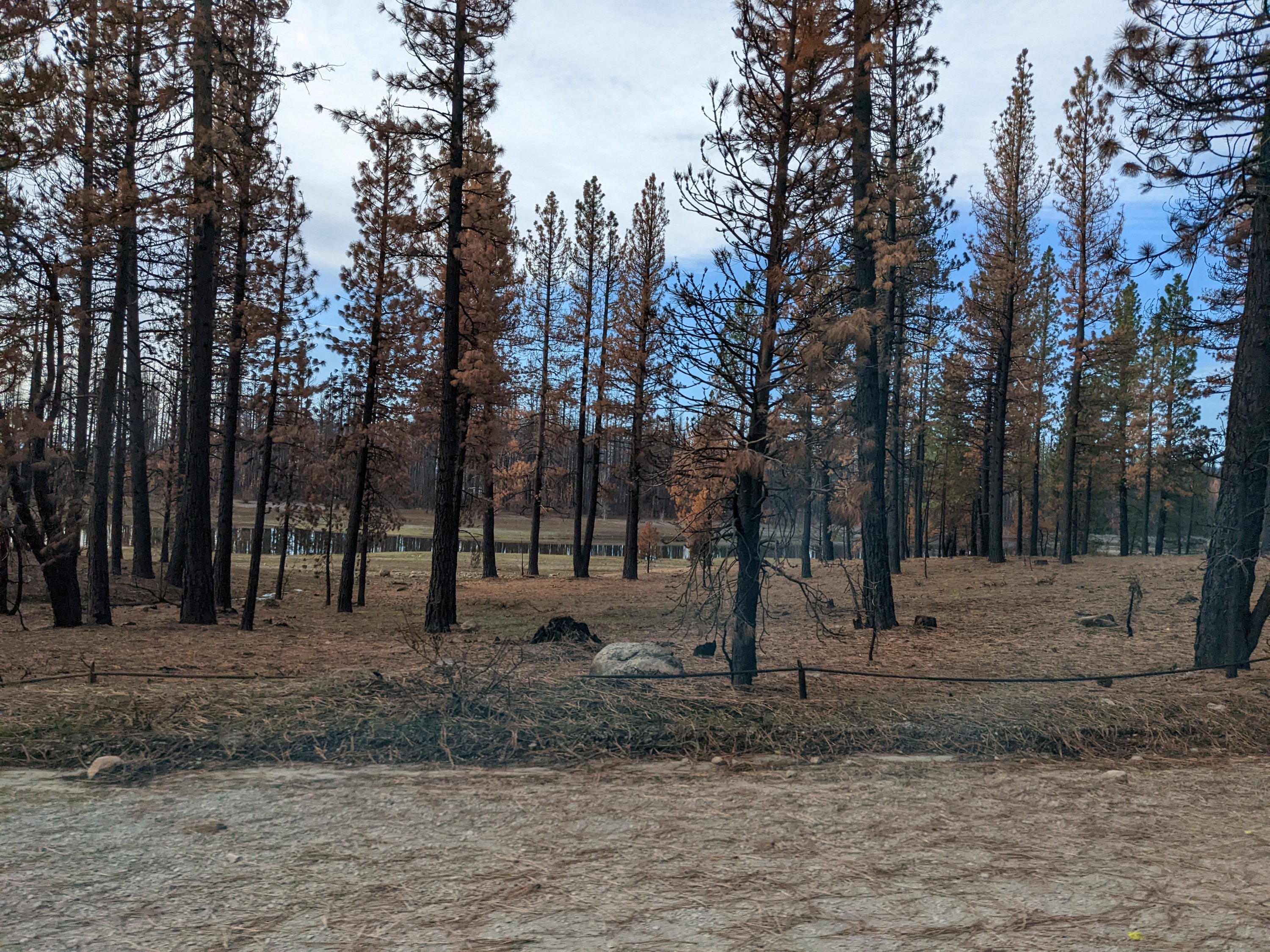
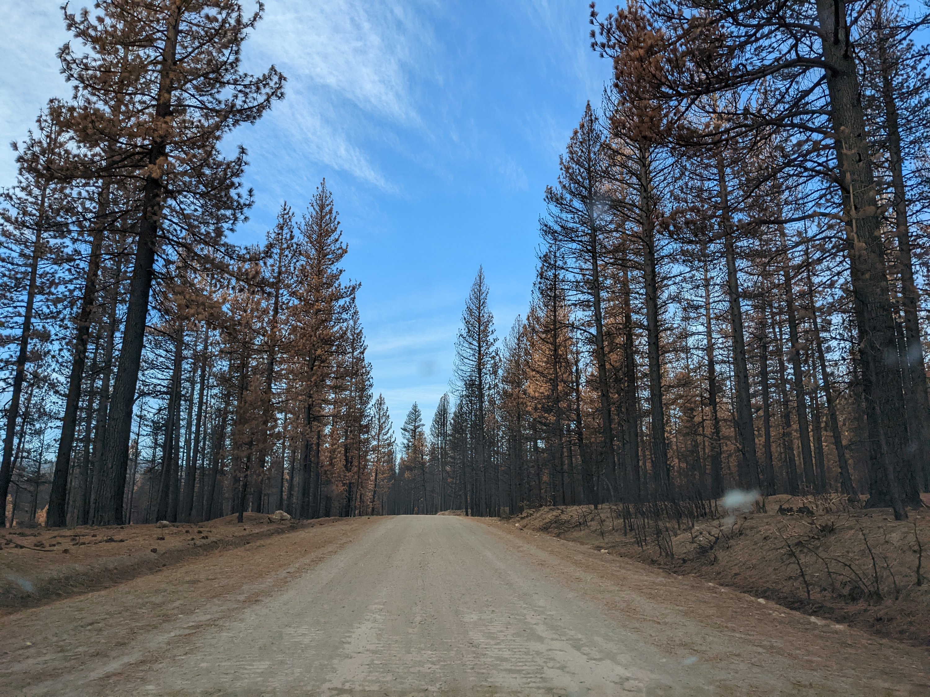
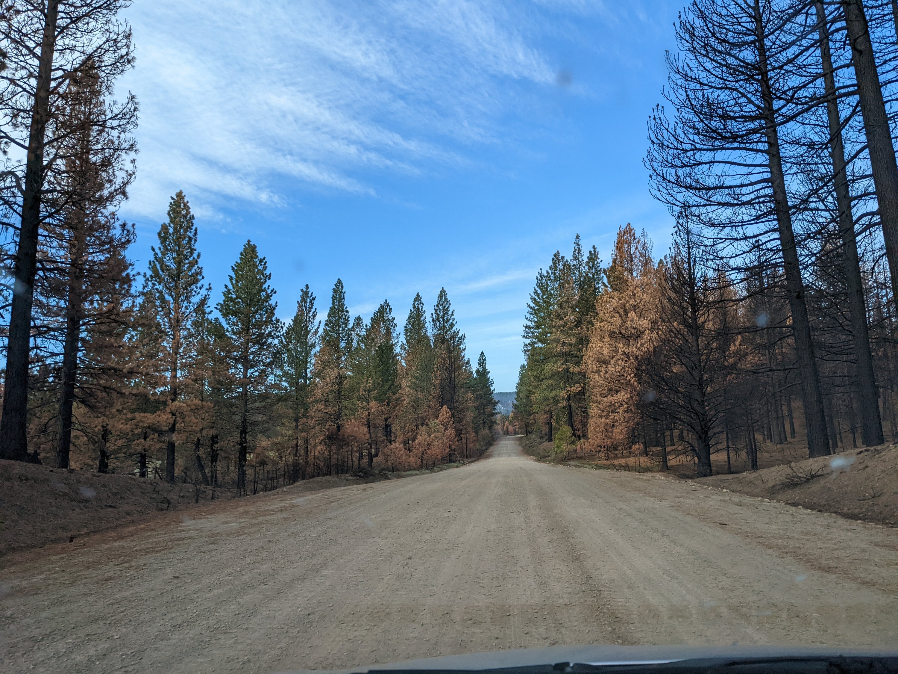
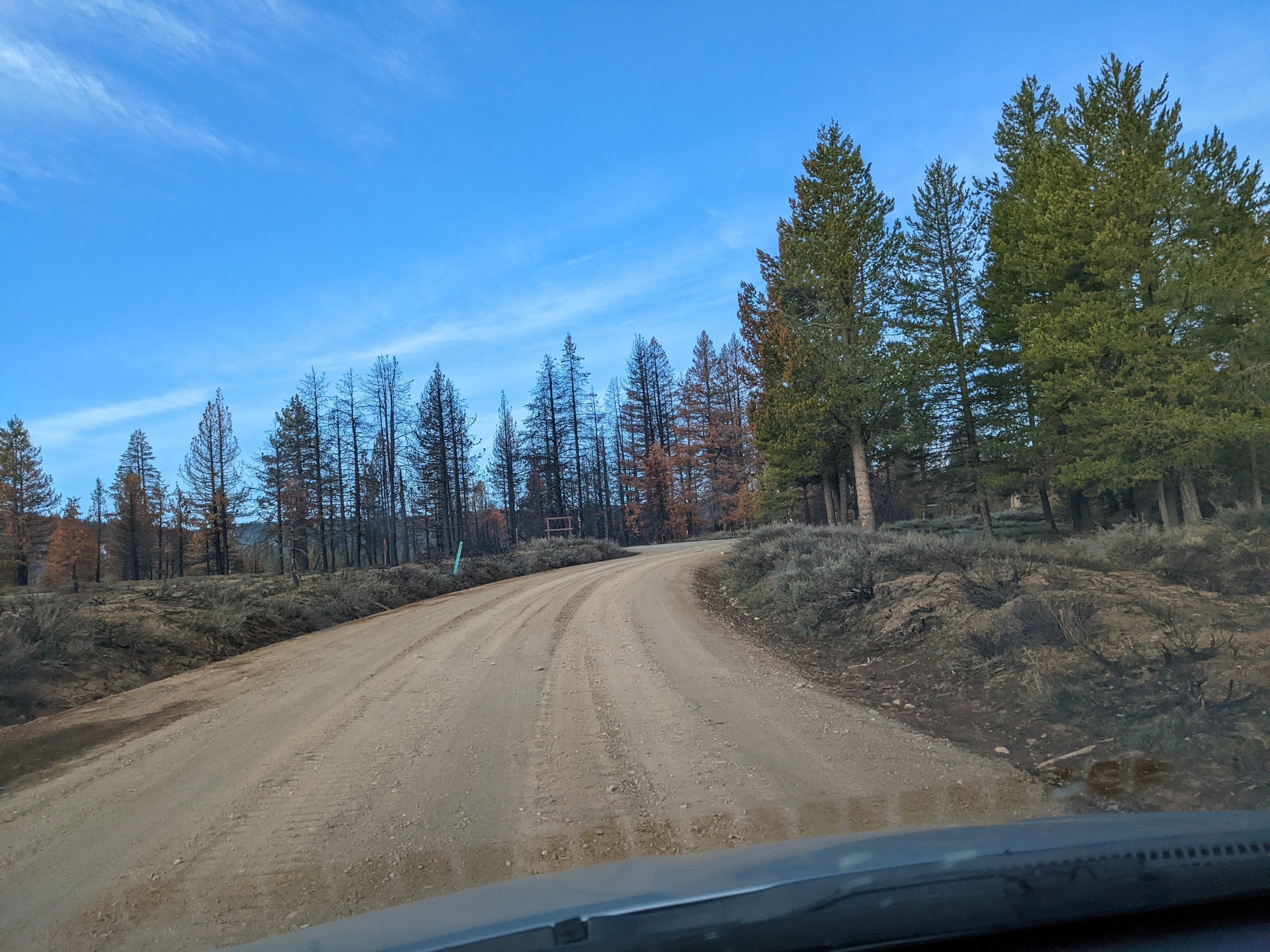
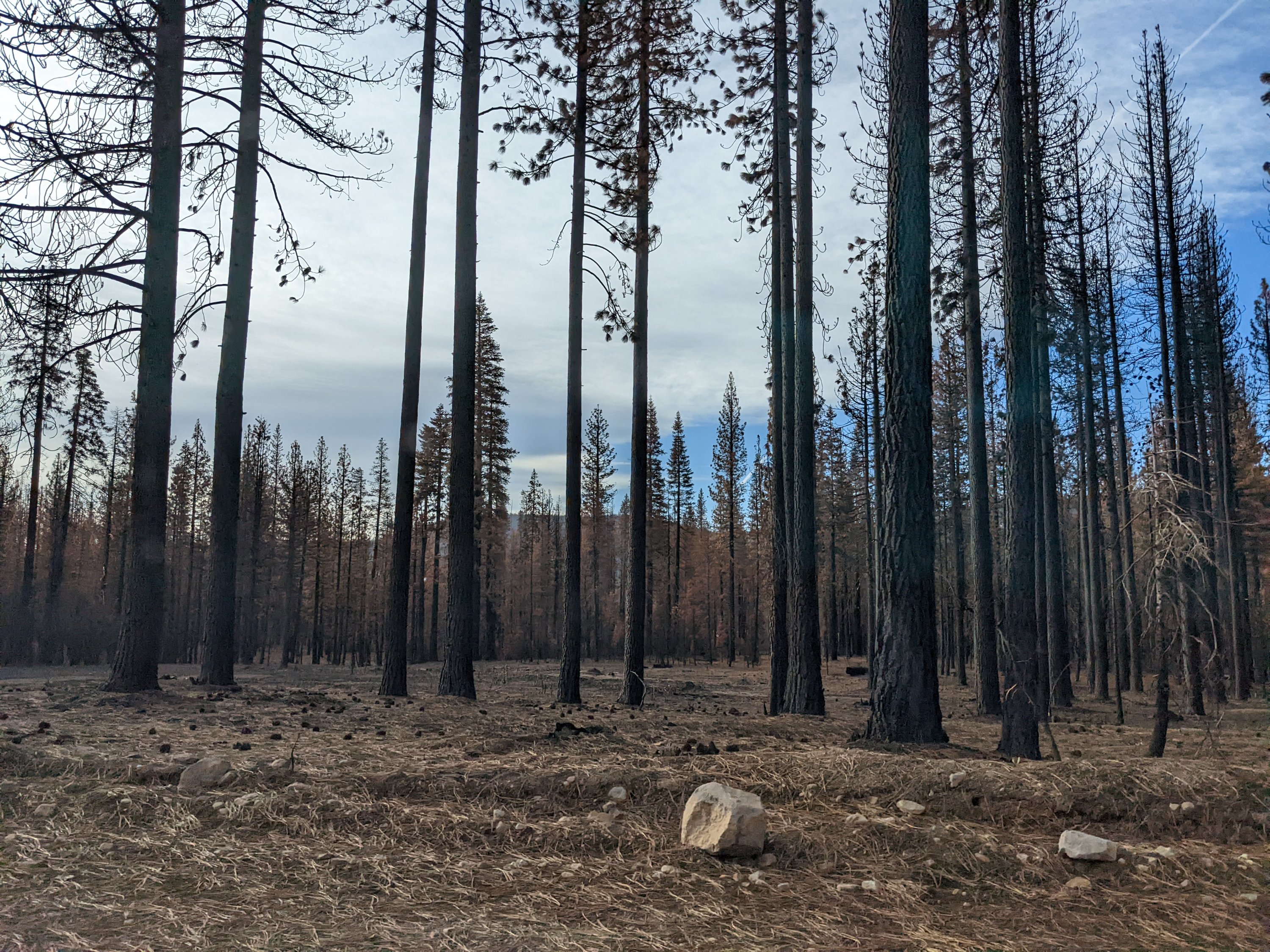
In retrospect, this was, of course, a rookie move on my part – I knew Dixie had raged thru this area last year, pretty hot and heavy – we literally felt the heat from our house just a few miles away. And between the one big winter storm that dumped 6+ ft, and strong winds just a couple days before, in the back of my head I knew/suspected there could be some downed branches or trees on the way. I suppose I underestimated how frequently traveled that route is, just at the beginning of spring. I figure this tree must have been blown down just in the last couple of days, because all the other trees up until this point had been cut thru already.
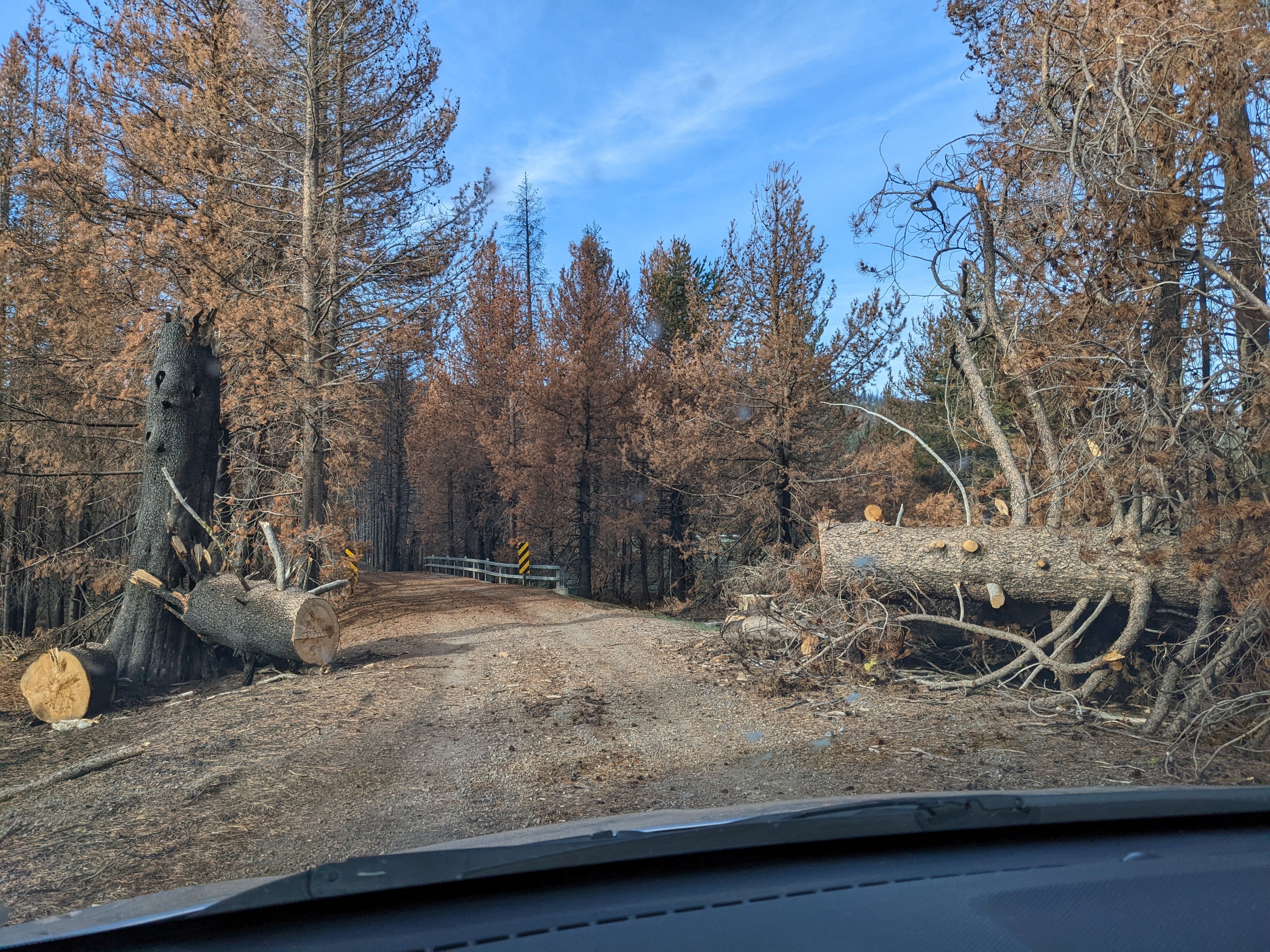
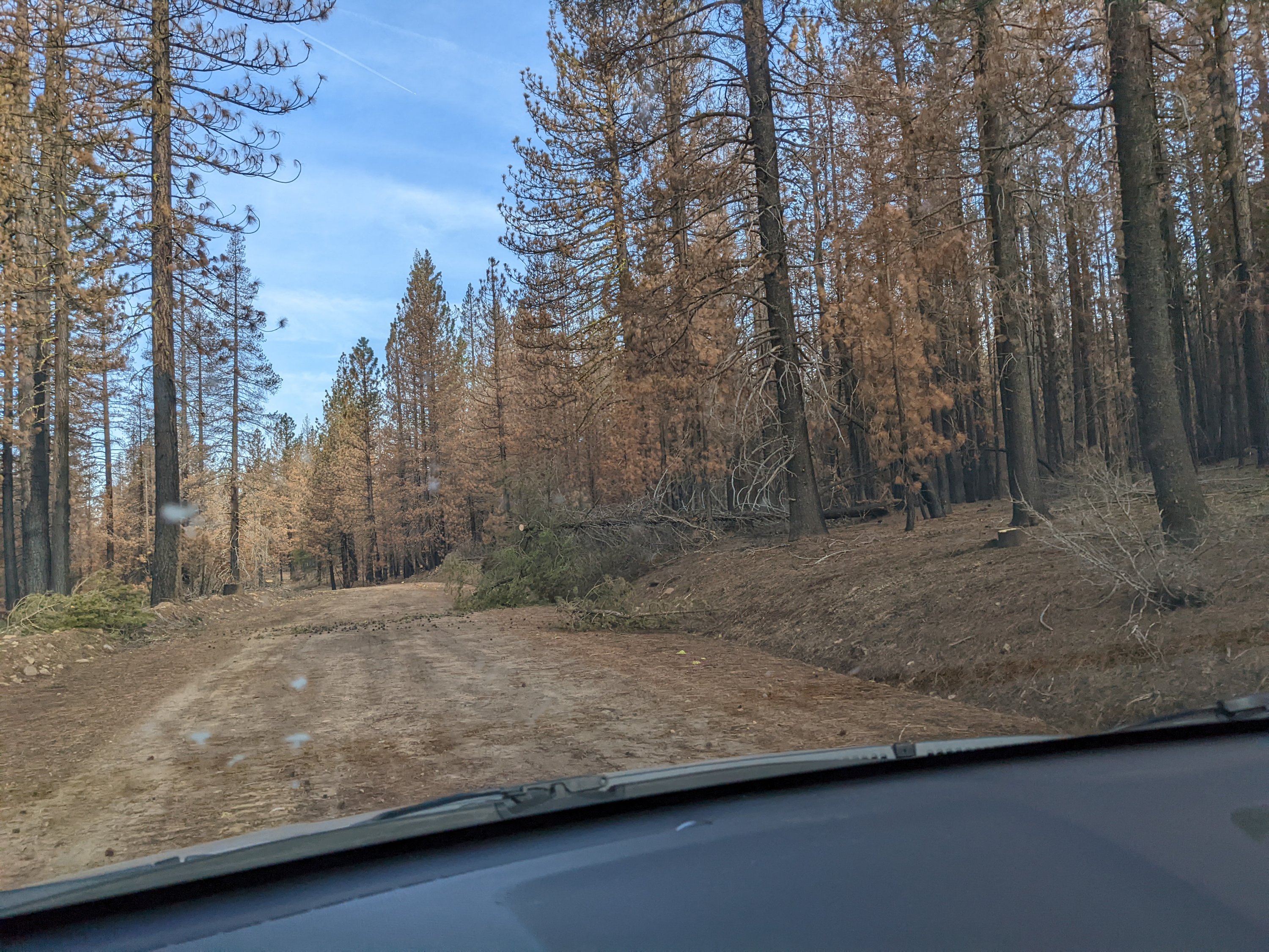
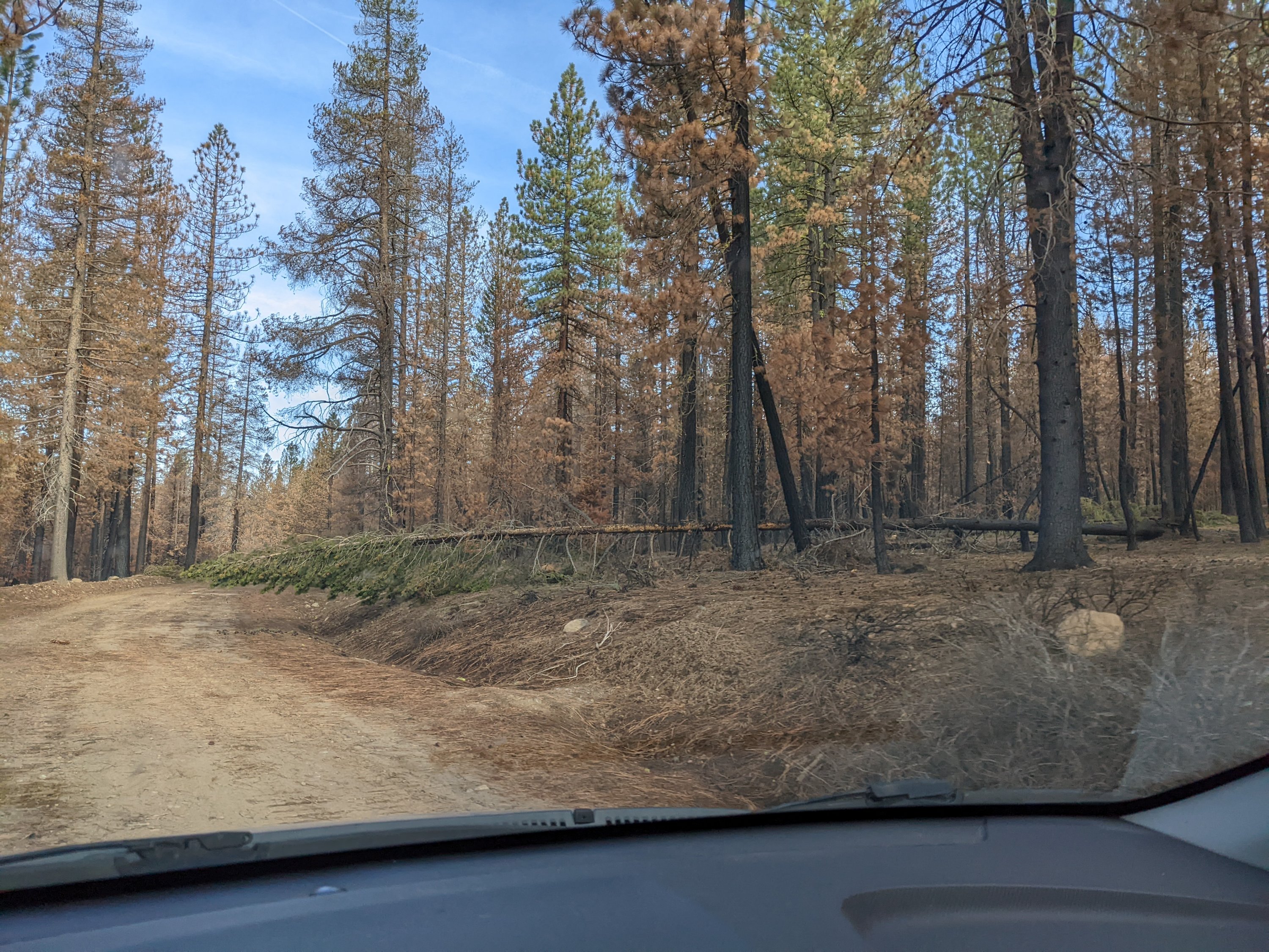

And, seeing as I was supposed to be going to a burn plan workshop (before, ironically, an old burn ruined my plans), and no one else we’ve chatted with has been around on this side of the lake since the roads cleared, I was pretty interested to see what it looked like. I’ve never been down this road this far before, so it’s a bit of a weird first introduction, I’m sure. (Don’t mind my dirty windshield – it’s pine sap…)


Last updated: April 8, 2022
Follow us on Instagram (@CullCastle) for snapshots around Plumas County, CA
